
Flooding Forces Evacuations Around Pagosa Springs as Polis Declares a Disaster Emergency in Southern Colorado
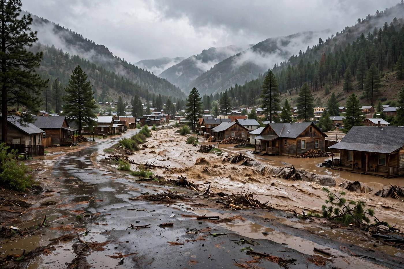
The San Juan River rose to just over 15 feet early Friday near Pagosa Springs. Mandatory evacuations, closed schools and shut mountain passes spread across southern Colorado, and New Mexico ordered new evacuations downstream.
Key points
- Heavy rain on Thursday night and into Friday sent rivers over their banks across southern Colorado, forced mandatory evacuations around Pagosa Springs and South Fork, and led Governor Jared Polis…
- In Pagosa Springs, town officials declared a disaster emergency, and the Archuleta County Sheriff's Office ordered mandatory evacuations for low-lying areas along the San Juan, Rio Blanco, Navajo…
- The National Weather Service flood warning for Pagosa Springs put the San Juan River at 13.6 feet at 11 p.m. MDT on Thursday, and said that at 14.5 feet the water reaches the foundations of some…
Heavy rain on Thursday night and into Friday sent rivers over their banks across southern Colorado, forced mandatory evacuations around Pagosa Springs and South Fork, and led Governor Jared Polis to verbally declare a disaster emergency for the southwestern part of the state. The declaration opens state resources for response and recovery in the flooded counties.
In Pagosa Springs, town officials declared a disaster emergency, and the Archuleta County Sheriff's Office ordered mandatory evacuations for low-lying areas along the San Juan, Rio Blanco, Navajo and Piedra rivers. Early on Friday the sheriff's office told residents to shelter in place, saying water levels were beginning to recede but many roads were impassable and unsafe for travel. All Archuleta School District schools stayed closed on Friday.
The San Juan River runs high at Pagosa Springs
The National Weather Service flood warning for Pagosa Springs put the San Juan River at 13.6 feet at 11 p.m. MDT on Thursday, and said that at 14.5 feet the water reaches the foundations of some homes in San Juan River Ranch. Gauge readings reported on Friday morning put the river at just over 15 feet at 5:30 a.m., about 10 feet higher than before the flooding began on Thursday and two feet below the 17.8-foot record. The Rio Grande also crested after floodwaters rose at the Fun Valley Family Resort near South Fork on Thursday. The weather service office in Grand Junction said flooding would continue even as the prolonged rainfall tapers off, and that flood risk runs into Friday night across the Four Corners region.
Roads close across the mountains
The Colorado Department of Transportation announced early on Friday the complete closures of Red Mountain Pass and Wolf Creek Pass, along with closures between Pagosa Springs and Bayfield and near Antonito. The department posted photos of a washout on Highway 550 near Silverton, where a large section of the highway shoulder had washed away. In Montrose County, flooding closed travel between Paradox and Uravan, and the town of Gateway in Mesa County was on flood watch.
The water moves into New Mexico
Across the state line, officials in San Juan County, New Mexico, expanded evacuation orders on Friday. Residents of Wildhorse Valley, Lee Acres, parts of Bloomfield near South Church and Calle Del Rio, County Road 2620 in Cedar Hill, and all areas along the San Juan and Animas rivers were told to evacuate at once. County officials said the rivers are not forecast to crest until late Friday night or early Saturday, Oct. 24. People who had to leave could shelter at McGee Park, which officials said was safe and dry and was also taking pets and RVs. Officials warned residents to stay out of floodwater near Bloomfield after flooding hit the city sewage treatment plant, saying the water may carry raw sewage.
The storm threat shifts into New Mexico on Friday afternoon. Forecasters put much of central New Mexico under a Level 2 out of 5 severe weather threat, with large damaging hail as the main concern and a few tornadoes possible. A Level 2 out of 4 flash flood risk covers parts of southern New Mexico and West Texas, where rainfall rates could reach 2 to 3 inches per hour.
Timeline
- Oct 22, 2026Heavy rain sends rivers rising across southern Colorado. The Archuleta County Sheriff's Office orders mandatory evacuations along the San Juan, Rio Blanco, Navajo and Piedra rivers, and floodwaters rise at the Fun Valley Family Resort near South Fork.
- Oct 23, 2026The San Juan River at Pagosa Springs reads just over 15 feet at 5:30 a.m. Governor Jared Polis verbally declares a disaster emergency, Archuleta schools close, mountain passes shut, and San Juan County, New Mexico, expands evacuations along the San Juan and Animas rivers.
- Oct 24, 2026The San Juan and Animas rivers in New Mexico are forecast to crest late Friday night or early Saturday, while flood warnings stay in effect and flood risk continues across the Four Corners region.
Sources
- Colorado Public Radio: Rio Grande River crests as heavy rains in southwestern Colorado prompt road closures, evacuations and disaster declarations
- Fox Weather: Severe weather threat shifts into New Mexico after rare Tornado Watch
- News Radio KKOB: New Evacuations Ordered in San Juan County as Floodwaters Continue to Rise
- KSUT Public Radio: Heavy rains in southwest Colorado prompt road closures, evacuations, and disaster declarations
- National Weather Service: Watches, Warnings and Advisories for Colorado and New Mexico