
East Coast Nor'easter Forms Sunday, NHC Sees 30% Chance It Develops
A storm-force low forms off the Southeast coast on Sunday and stalls there for days. The National Hurricane Center gives it a 30 percent chance of subtropical development in seven days, and warns of coastal flooding either way.
Key points
- A storm-force low is expected to form off the Southeast coast later on Sunday and then sit there, moving slowly and erratically through the middle of the week.
- In its 8 a.m. Eastern outlook on Sunday, October 18, the NHC said a storm-force non-tropical low pressure area is expected to form later today or tonight off the southeast coast of the United States.
- A nor'easter does not need a name to flood a road.
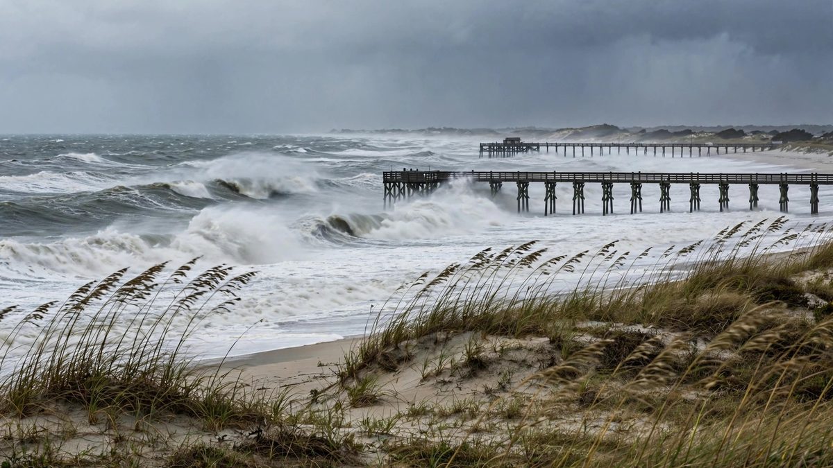
A storm-force low is expected to form off the Southeast coast later on Sunday and then sit there, moving slowly and erratically through the middle of the week. The National Hurricane Center says the system could pick up subtropical traits over the warm water of the Gulf Stream. Whether it does or not, the center is blunt about the part that matters: high winds, coastal flooding and dangerous surf along parts of the US East Coast.
In its 8 a.m. Eastern outlook on Sunday, October 18, the NHC said a storm-force non-tropical low pressure area is expected to form later today or tonight off the southeast coast of the United States. Formation chance through 48 hours is near zero percent. Formation chance through seven days is 30 percent. If the system earns a name, it would be called Josephine, the next name on the 2026 Atlantic list.
Why the name question is not the real question
A nor'easter does not need a name to flood a road. The low is forming along a cold front that is pushing off the coast and then stalling, forecasters at FOX Weather said, and the stall is the problem. A storm that lingers for days pushes water toward the shore through several tide cycles, which is how beaches lose sand and low roads go under water at high tide.
AccuWeather senior meteorologist Adam Douty made the same point. As the storm lingers near the Gulf Stream this week, he said, it can gradually take on tropical or subtropical characteristics, but regardless of whether the low becomes a tropical or subtropical storm, the expected impacts would effectively remain the same.
Where the worst of it lands
Forecasters expect heavy surf and rip currents along Florida's east coast, with the most significant impacts spreading along the mid-Atlantic to New England coasts, from North Carolina's Outer Banks to Delaware, AccuWeather said. The Daily Caller, citing FOX Weather, put the target zone from the Outer Banks to the Jersey Shore in the early part of the week, with coastal flooding, gusty winds and persistent showers.
The timing is awkward for the Outer Banks. Beaches there are still managing significant erosion from a previous nor'easter in September, so a second long storm arrives before the dunes have recovered.
The season so far
The 2026 Atlantic hurricane season has produced nine named storms and one hurricane so far. Isaias, which formed in the Gulf, was the only hurricane, and it made landfall near Destin, Florida, with 105 mph winds on October 9. A named Josephine would be the tenth storm of the season.
What to do with this forecast
The NHC tells coastal residents to follow statements and warnings from their local National Weather Service office and the Weather Prediction Center, along with high seas forecasts and storm warnings. In practice that means three things this week. Check the tide, not just the rain, because flooding from a stalled storm arrives at high tide. Stay out of the surf, because rip currents from a storm hundreds of miles away still kill swimmers on otherwise calm-looking days. And expect the forecast to change, because a system moving slowly and erratically is, by the forecasters' own wording, the hardest kind to pin down.
Timeline
- Oct 9, 2026Hurricane Isaias makes landfall near Destin, Florida, with 105 mph winds, the only hurricane of the 2026 Atlantic season so far.
- Oct 18, 2026The NHC 8 a.m. outlook says a storm-force non-tropical low is expected to form off the southeast coast later today or tonight, with a 30 percent formation chance over seven days.
- Oct 19, 2026The low is expected to move slowly and erratically off the coast through the middle of the week, bringing high winds, coastal flooding and dangerous surf.