
Honolulu, Hawaii: Flood Watch for All Islands as Olana Remnants Bring 2 to 8 Inches of Rain Tuesday Through Thursday
The National Weather Service has posted a Flood Watch for every Hawaiian island from Tuesday morning through Thursday. Olana has weakened to a depression and its center will miss Hawaii, but its moisture could bring 2 to 8 inches of rain, with the greatest flood threat on Tuesday night and Wednesday night.
Key points
- Honolulu is under a Flood Watch with the rest of Hawaii from Tuesday morning, as the National Weather Service warns that deep tropical moisture left behind by Tropical Storm Olana will bring heavy…
- The watch takes effect at 6 a.m. on Tuesday, October 27, and runs through Thursday, October 29, according to Maui Now, which reported the watch on Monday morning.
- Total rainfall from Tuesday through Thursday is expected to range from 2 to 8 inches, with the highest amounts in the higher elevations, according to the forecast discussion from the National…
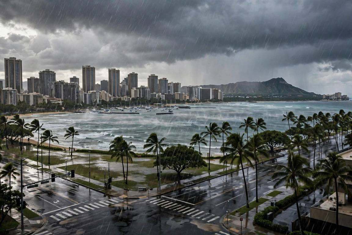
Honolulu is under a Flood Watch with the rest of Hawaii from Tuesday morning, as the National Weather Service warns that deep tropical moisture left behind by Tropical Storm Olana will bring heavy rain and thunderstorms to every island through Thursday.
The watch takes effect at 6 a.m. on Tuesday, October 27, and runs through Thursday, October 29, according to Maui Now, which reported the watch on Monday morning. Heavy showers and isolated thunderstorms with intense rain rates may develop on Tuesday and continue through Wednesday evening as a trough moves over the state and stays nearly stationary for a few days.
The heaviest rain comes Tuesday night and Wednesday night
Total rainfall from Tuesday through Thursday is expected to range from 2 to 8 inches, with the highest amounts in the higher elevations, according to the forecast discussion from the National Weather Service in Honolulu. FOX Weather reported that some areas could see 5 to 8 inches of rain over two to three days, with a risk of flooding and mudslides, and the heaviest downpours along south and west facing slopes.
"Chances for widespread rain should remain relatively low Tuesday morning as the Flood Watch goes into effect, but as moisture increases later in the day, the flood threat will slowly increase," the Honolulu office of the National Weather Service said. "The flood threat will be greatest Tuesday night through Wednesday night."
Forecast guidance favors Oahu and Maui County for the greatest rainfall, the Weather Service said, while cautioning that all islands face a heavy rain threat. The trough will spread a deep tropical air mass over the state, with precipitable water in excess of 2 inches on Tuesday. Hawaii News Now has declared Tuesday, Wednesday and Thursday as First Alert Weather Days for the flood threat.
Olana is weakening, and its center will not reach Hawaii
Olana was upgraded to a tropical storm on Sunday, then weakened into a tropical depression on Monday. In its latest advisory, the National Hurricane Center placed what is left of Olana about 520 miles west-southwest of Johnston Island, with maximum sustained winds of 35 mph and a central pressure of 1007 millibars. The depression was moving southeast near 3 mph, and forecasters expect it to become a remnant low.
The center of the system will not strike Hawaii. The danger for Honolulu and the other islands is the moisture it leaves behind, pulled north by the stalled trough. Along with the rain, forecasters say strong or severe thunderstorms are possible, with damaging wind gusts and a chance of an isolated tornado or waterspout, although heavy rainfall and flooding remain the greater threat.
The heavy rain threat is expected to diminish on Thursday and Friday as the pattern shifts, but the Weather Service cautions that a weak trough and ample moisture will likely linger, so the Flood Watch could be extended if heavy showers continue.
Timeline
- Oct 25, 2026Olana is upgraded to a tropical storm in the Central Pacific on Sunday.
- Oct 26, 2026Olana weakens to a tropical depression with maximum sustained winds of 35 mph about 520 miles west-southwest of Johnston Island, and the National Weather Service issues a Flood Watch for all Hawaiian islands, reported by Maui Now at 5:32 a.m. HST.
- Oct 27, 2026The Flood Watch takes effect at 6 a.m. HST on Tuesday, and heavy rain is expected to increase later in the day.
- Oct 29, 2026The Flood Watch runs through Thursday, with total rainfall of 2 to 8 inches expected from Tuesday through Thursday and the greatest flood threat on Tuesday night and Wednesday night.