
Australia Is on Track for Its Wettest El Niño Year on Record
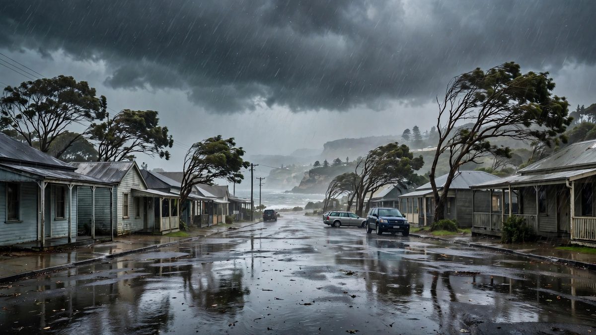
A strong El Niño usually means drought for Australia. This year the rain kept coming, and storms are set to soak more than half the country in the next seven days.
Key points
- El Niño is supposed to dry Australia out.
- October has been damp, and it is about to get wetter.
- The Pacific El Niño is one of the strongest on record, and the Indian Ocean is entering a dry phase.
El Niño is supposed to dry Australia out. This year it has done the opposite. The year remains on track to become Australia's wettest El Niño year on record, ABC News reported on Saturday, and the first El Niño year with above-average national rainfall across winter and spring.
October has been damp, and it is about to get wetter. An ongoing outbreak of showers and thunderstorms is forecast to affect more than half the country during the next seven days.
A strong El Niño, the wrong script
The Pacific El Niño is one of the strongest on record, and the Indian Ocean is entering a dry phase. That combination was previously linked to widespread severe drought in Australia. This year the rain arrived anyway.
The Bureau of Meteorology explains part of the puzzle. The year began with an active La Niña and a very wet northern wet season. Autumn brought a rapid switch, and El Niño was underway by June. Winter rain in the interior came mostly from big weather systems, including two north-west cloudbands and strong cold fronts that pulled in tropical moisture, helped by a negative Southern Annular Mode. Oceans around Australia are also much warmer than usual, which adds moisture and energy to rain systems.
The warning inside the record
A wet record does not cancel the El Niño risk. Moody's modelling, reported by Insurance News, says this is the wettest El Niño year on record so far, and that a rapid swing to hot, dry conditions could still raise bushfire risk by more than 50 percent against non-El Niño years. All that rain grows fuel. The National Emergency Management Agency is warning people to prepare for a drier, hotter summer. The current El Niño is expected to peak in the coming months.
Why it matters
Forecasts built on one climate driver are getting harder to trust. The bureau's own explainer makes the point in its title: El Niño strength does not always match its impact on Australia. For farmers, fire crews and insurers, the lesson of 2026 is to watch the rain gauge and the fuel load at the same time.
Not wet everywhere
The record hides dry corners. The bureau says this year has been drier than average in parts of north-eastern New South Wales running into south-eastern Queensland, in the south-west corner of Western Australia, and in parts of Tasmania. Those dry pockets sit next to soaked ones in the same El Niño year, which is the pattern forecasters now have to explain, and plan around.
Timeline
- Jun 2026El Niño is underway after a rapid transition from La Niña in autumn, the Bureau of Meteorology says.
- Oct 17, 2026ABC reports the year remains on track to become Australia's wettest El Niño year on record, with storms forecast to affect more than half the country in the next seven days.