
San Antonio, Texas: Steady Weekend Rain Brings Isolated Flood Risk Across South Central Texas
The National Weather Service expects 1 to 3 inches of steady rain Saturday through Monday across South Central Texas, with pockets up to 5 inches, highs in the 60s, and a low but real risk of isolated flooding.
Key points
- South Central Texas is in for a wet weekend.
- The weather service calls the system a long duration, steady rain event, and says the flood threat across most areas remains low.
- FOX 7 Austin reported on Saturday morning that the pieces are coming together over the next 48 hours.
South Central Texas is in for a wet weekend. The National Weather Service office in Austin and San Antonio, in a briefing titled "Soggy Weekend Ahead," expects periods of steady light to moderate rain from Saturday through Monday for much of the region, with rainfall totals of 1 to 3 inches and pockets of higher amounts up to 5 inches.
The weather service calls the system a long duration, steady rain event, and says the flood threat across most areas remains low. The greatest potential for isolated flooding sits in and around a highlighted area of South Central Texas, and for most people the office calls the rain welcome and beneficial after dry weeks.
Where the flood risk sits
FOX 7 Austin reported on Saturday morning that the pieces are coming together over the next 48 hours. A western low will pivot into Texas, pulling in clouds and moisture. Saturday stays mostly dry around Austin, with the first spotty light rain arriving Saturday evening. Coverage and intensity then increase for the first half of Sunday.
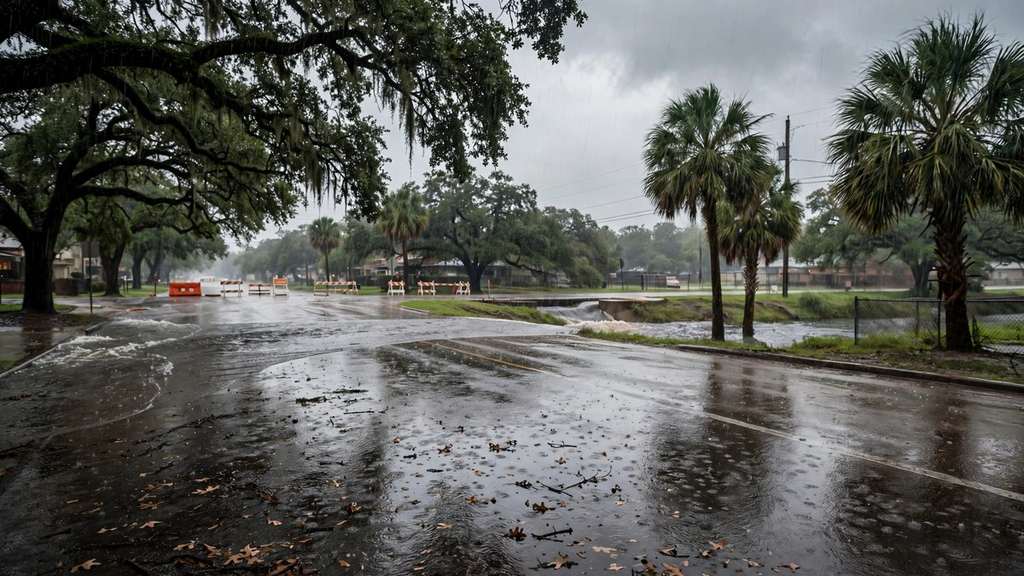
FOX 7 said rain totals are trending higher, with the highest totals of 1 to 3 inches just south and west of Austin. The station said the slight risk of excessive rain that could lead to flooding is moving farther north, now including San Antonio and the western Hill Country. It said forecasters are not expecting river flooding or life threatening flash flooding, but ponding on roads and minor street flooding cannot be ruled out.
Fox Weather, citing the federal excessive rainfall outlook, put numbers on the risk by day: a Level 1 out of 4 flash flood risk on Saturday covering parts of West Texas, the Hill Country and a corridor from Laredo to Brownsville, rising to a broad Level 2 out of 4 on Sunday across the Hill Country and South Texas, including San Antonio. The most persistent and heaviest rain is expected Sunday afternoon through Sunday night.
South Texas and the southern Hill Country
Texas Storm Chasers, in its Friday roundup, said the upper level system moves in from Mexico and lights up Saturday night. It forecast 2 to 3 inches for the southern Hill Country and 2 to 3 inches across South Texas by Monday, with a few spots over 5 inches. It said Sunday afternoon and evening bring a slightly higher flash flood risk across South Texas, the Rio Grande Plains, the Valley and the Coastal Bend, because Saturday's rain will have soaked the ground first. North Texas, Texoma and the Panhandle stay mostly dry in this setup, and Houston sits on the edge with far less rain.
What this storm is not
Texas Storm Chasers said there are no severe storms and no tornadoes with this system. FOX 7 said there are no concerns about severe weather and barely any lightning. Fox Weather's forecast center said there is very little atmospheric instability, so rainfall rates should stay low, giving a steady, soaking rain rather than sudden, torrential downpours.
The practical risk is water over low water crossings and flooded side streets after hours of rain. Texas Storm Chasers repeated the standard warning for drivers: turn around, do not drown.
Timing and the cool down
The weather service said today will be cooler with mainly cloudy skies and increasing showers later in the day. High temperatures drop into the 60s by Sunday and Monday, with widespread rain chances peaking between 50 and 95 percent. Rain lingers into Monday, then drier and warmer weather returns by the middle of next week.
Timeline
- Nov 6, 2026Texas Storm Chasers forecasts a wet weekend for the southern half of Texas, with 2 to 3 inches for the southern Hill Country and South Texas and a few spots over 5 inches.
- Nov 7, 2026The National Weather Service in Austin and San Antonio calls for steady rain Saturday through Monday, 1 to 3 inches with pockets up to 5, and says the flood threat for most areas remains low. FOX 7 Austin says the slight excessive rain risk is moving north to include San Antonio and the western Hill Country.
- Nov 8, 2026Rain coverage and intensity peak in the first half of Sunday. The federal outlook puts a Level 2 out of 4 flash flood risk over the Hill Country and South Texas, with the heaviest rain Sunday afternoon through Sunday night.
- Nov 9, 2026Rain lingers Monday with highs in the 60s, then drier and warmer weather returns by the middle of the week.
Sources
- National Weather Service Austin San Antonio: Soggy Weekend Ahead
- FOX 7 Austin: Austin weather, cloudy, cool, rainy weekend ahead
- Fox Weather: South Texas, Texas Hill Country face dangerous El Nino fueled flood threat through weekend
- Texas Storm Chasers: Will It Rain This Weekend? South Texas Yes, North Texas No