
Corpus Christi, Texas: Flash Flood Warning Covers Duval and Webb Counties as Second Round Looms
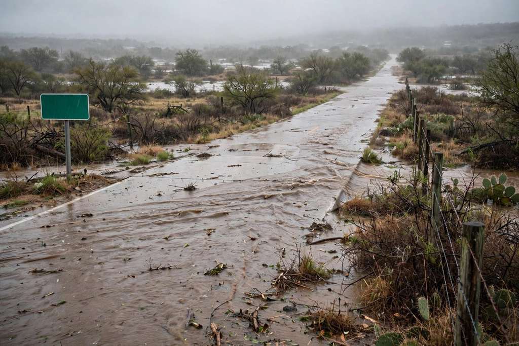
The National Weather Service in Corpus Christi warned early Sunday that flash flooding was ongoing or about to begin in southwestern Duval and southeastern Webb counties, with parts of Duval already near 5 inches of rain and a heavier round expected Sunday night.
Key points
- The National Weather Service in Corpus Christi issued a flash flood warning early Sunday for southwestern Duval County and southeastern Webb County, after heavy thunderstorms dropped 1 to 3 inches…
- The warning was issued at 5:04 a.m. CST and ran until 8 a.m. The weather service said radar and automated rain gauges showed thunderstorms producing heavy rain, with 2 to 4 more inches possible in…
- "Flash flooding is ongoing or expected to begin shortly," the warning said.
The National Weather Service in Corpus Christi issued a flash flood warning early Sunday for southwestern Duval County and southeastern Webb County, after heavy thunderstorms dropped 1 to 3 inches of rain and left parts of Duval County near 5 inches for the event.
Warning at 5:04 a.m. Sunday
The warning was issued at 5:04 a.m. CST and ran until 8 a.m. The weather service said radar and automated rain gauges showed thunderstorms producing heavy rain, with 2 to 4 more inches possible in the warning area.
"Flash flooding is ongoing or expected to begin shortly," the warning said.
The places named were Oilton, Mirando City, Bruni, Aguilares and Ranchitos Las Lomas. The warning also covered U.S. Highway 59 between mile markers 790 and 816, the highway that runs east from Laredo toward Freer. It told drivers to turn around and not drive through flooded roads, and it said most flood deaths happen in vehicles.
As of early Sunday, the weather service had issued no local storm reports of flood damage or water rescues in the Corpus Christi or Brownsville areas.
Flood watch runs through Monday morning
The Sunday warning sat inside a flood watch that the Corpus Christi office first issued at 8:17 p.m. Friday, November 6. A 12:34 a.m. Sunday update kept the watch in effect through Monday morning for La Salle, McMullen, Live Oak, Bee, Goliad, Webb, Duval, Jim Wells, Kleberg, Nueces, San Patricio, Aransas and Refugio counties, including the barrier islands. The watch covers Laredo, Corpus Christi, Kingsville, Alice, Beeville, Rockport, Cotulla and Port Aransas.
The update said widespread totals of 2 to 5 inches will be common, and isolated totals of 7 to 9 inches are possible where storms train over the same area.
Texas Storm Chasers reported on Sunday morning that parts of Duval County had already picked up almost 5 inches, and that model data showed an additional localized 5 to 8 inches possible through Monday morning in the same corridor. The Weather Prediction Center kept a slight risk of excessive rainfall over south central and South Texas on Sunday, with the highest threat from Webb County toward Corpus Christi.
A second round Sunday night
Forecasters said a slow moving upper level low over northern Mexico is the main driver through Monday night, while a surface boundary west of Alice funnels Gulf moisture into the region. The office forecast 2 to 4 inches along the coast from Rockport southwest and 3 to 6 inches in the Brush Country, with rain rates of 1 to 2 inches per hour in the strongest storms. A second round, possibly heavier, is expected Sunday night into Monday morning.
The rain follows a dry fall. Laredo had received 1.51 inches since September 1 through Saturday, 4.19 inches below normal. Corpus Christi had received 6.20 inches over the same period, 2.93 inches below normal.
The office also issued a coastal flood advisory from noon Sunday to 3 a.m. Monday for Gulf facing beaches and bays, with water levels reaching 2 to 2.5 feet above mean sea level at high tide Sunday and again Monday, a high rip current risk, and seas of 6 to 8 feet. Rain should taper Monday night.
Timeline
- Nov 6, 2026The National Weather Service in Corpus Christi issues a flood watch at 8:17 p.m. for a broad area from La Salle and McMullen counties to the Coastal Bend.
- Nov 8, 2026At 5:04 a.m. CST the Corpus Christi office issues a flash flood warning for southwestern Duval County and southeastern Webb County until 8 a.m., after 1 to 3 inches fall early Sunday. Parts of Duval County reach almost 5 inches for the event.
- Nov 9, 2026The flood watch runs through Monday morning, a second and possibly heavier round of rain is expected Sunday night into Monday, and the rain is forecast to taper Monday night.