
Nepal Rain Warning: 200 mm Possible as Bay of Bengal Cyclone Builds
Meteorologists say a cyclonic storm forming in the Bay of Bengal could bring more than 200 millimetres of rain to parts of Nepal from Wednesday through Sunday, with heavy snow and avalanche risk in the high Himalaya during paddy harvest and trekking season.
Key points
- Nepal could receive more than 200 millimetres of rain next week as a cyclonic storm develops in the Bay of Bengal, meteorologists warned on Saturday, October 24.
- Meteorologist Binod Pokharel said in a social media post that forecasts he is reviewing suggest total rainfall in some areas over the coming period could exceed 200 millimetres.
- Nepal's Department of Hydrology and Meteorology says the low-pressure area in the Bay of Bengal should intensify into a cyclonic storm by Monday and move toward the coast near northern Andhra…
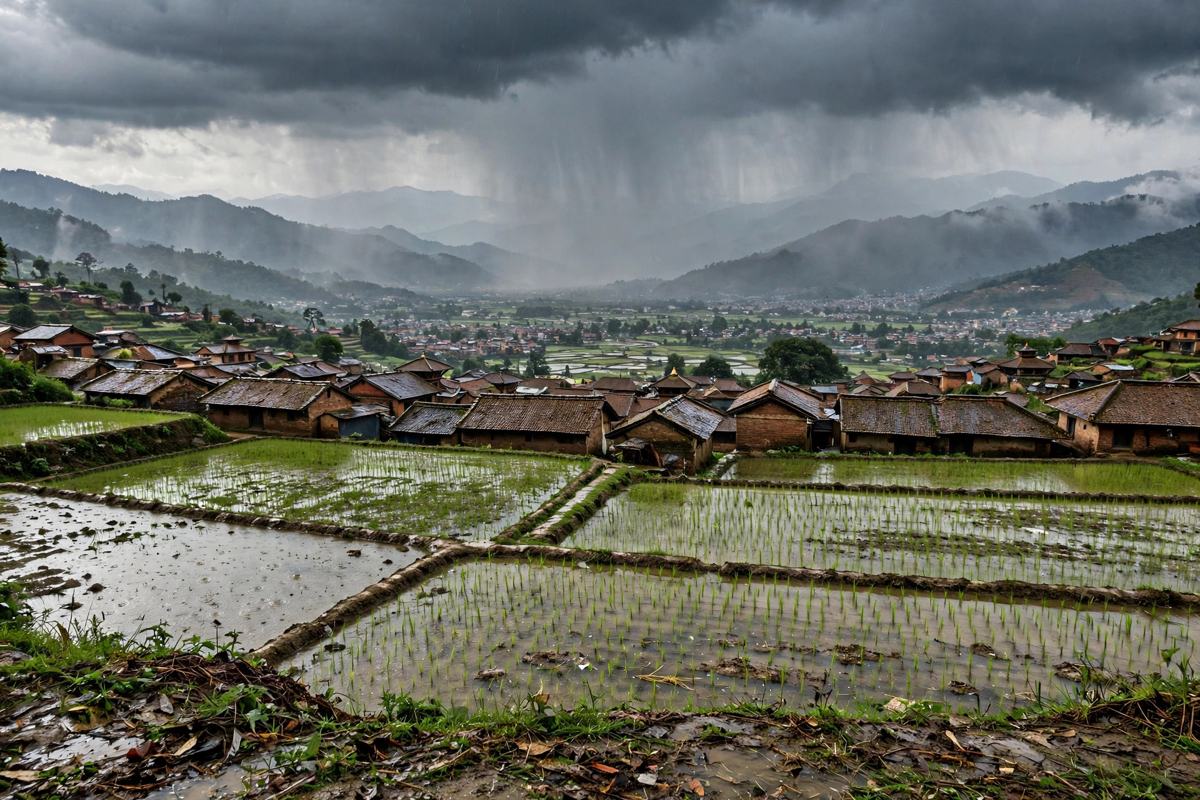
Nepal could receive more than 200 millimetres of rain next week as a cyclonic storm develops in the Bay of Bengal, meteorologists warned on Saturday, October 24. The warning matters because the wet spell is expected during the paddy harvest and at the height of the autumn trekking season in the Himalaya.
Meteorologist Binod Pokharel said in a social media post that forecasts he is reviewing suggest total rainfall in some areas over the coming period could exceed 200 millimetres. He was careful about what that number means. "This should not be interpreted as rainfall occurring in a single day," he wrote. "The actual amounts, timing, and affected areas may still change."
Nepal's Department of Hydrology and Meteorology says the low-pressure area in the Bay of Bengal should intensify into a cyclonic storm by Monday and move toward the coast near northern Andhra Pradesh and southern Odisha in India. Systems that make landfall there often push moisture north into Nepal in the days that follow.
Why the timing raises the risk
Pokharel said the impact of 200 millimetres of rain depends on when it falls, where it falls, and the ground conditions at the time. "Even during the monsoon, such rainfall over a short period would be hazardous," he wrote. "Since this is the time for harvesting paddy and also a period when many travel in the Himalayan regions, the consequences could be even more severe."
In the high Himalayan regions, he warned, the same system could bring heavy snowfall, extreme cold, and avalanches. He urged people to plan travel only after checking weather updates and official advisories.
A comparison officials do not want repeated
Pokharel noted that some current weather indicators resemble the conditions that led to the blizzard of October 14, 2014, when the remnants of Cyclone Hudhud crossed the Himalaya. In that disaster, 43 people lost their lives, including trekkers in the Annapurna region. He stressed that similar indicators do not mean the same outcome, and that advance warning is exactly what gives people time to change plans.
No official evacuation or closure orders had been issued with the warning on Saturday. The practical advice is simple: farmers should watch the forecast before cutting and stacking paddy, trekking groups should build buffer days into routes above the snow line, and travellers should check official advisories before setting out from Wednesday onward.
Timeline
- Oct 24, 2026Meteorologist Binod Pokharel warns that forecasts show more than 200 millimetres of rain possible in parts of Nepal during the coming wet spell.
- Oct 26, 2026The low-pressure area in the Bay of Bengal is expected to intensify into a cyclonic storm by Monday and move toward the coast near northern Andhra Pradesh and southern Odisha, according to the Department of Hydrology and Meteorology.