
Polar Vortex Disruption Nears Record Early Date, Forecasters Say
The polar vortex is so weak that a major disruption could come within a day or about a week, the earliest on record. Forecasters say any US cold would take weeks, and a strengthening El Nino still points to a mild November.
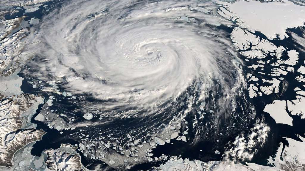
Key points
- The polar vortex high above the North Pole is unusually weak for early November, and forecasters say a major disruption could arrive within the next day or about a week from now.
- The polar vortex is a band of strong winds that circles the North Pole about 10 to 30 miles above the Earth.
- Forecasters are clear on the timing.
The polar vortex high above the North Pole is unusually weak for early November, and forecasters say a major disruption could arrive within the next day or about a week from now. If it does, it could be the earliest major disruption of the vortex on record.
The polar vortex is a band of strong winds that circles the North Pole about 10 to 30 miles above the Earth. It normally strengthens through the autumn as the Arctic cools, and it helps keep the coldest air locked over the pole. When the vortex is disrupted, that grip loosens and Arctic air has a better chance of moving south.
Why this does not mean a freeze next week
Forecasters are clear on the timing. A change in the stratosphere does not reach the ground the next morning. FOX Weather says any cold weather impact across North America would take several weeks to develop, and its forecast centre says models so far show no major cold air outbreaks ahead. The coldest air is expected to pool over Eastern Europe and Siberia, while North America stays warmer than average.
NOAA Climate Prediction Center has described a possible sudden stratospheric warming in November as very rare. If a warming like that connects with the weather systems below it, its effects can last for weeks, and the centre says the eastern United States is where any effect would most likely compete with the wider pattern.
El Nino is pushing the other way
A strengthening El Nino is the other force in this winter setup, and it is pulling toward mild weather. The Pacific jet stream is expected to grow stronger and more active from next week, carrying mild air across the United States. The Climate Prediction Center long range outlooks favour above average temperatures across much of the northern United States, including the Pacific Northwest, the Northern Plains, the Upper Midwest, the Great Lakes and the Northeast, through December.
That is why the same forecast can hold two ideas at once. The vortex may break down earlier than ever recorded, and most Americans may still have a milder than average November. Brief cool spells remain possible, and forecasters will watch late November and December for any sign that Arctic air is finally moving south in force.
For households, the practical read is simple. Do not plan around a sudden freeze this week. Do keep an eye on the late November outlook, because a record early disruption is exactly the kind of signal that can change a winter forecast after it first makes headlines.
Sources
- FOX Weather: Major polar vortex disruption could be just 24 hours away, what happens next
- AmeriLedger: The polar vortex is weakening unusually early. Here is what that could mean for the weather
- UNILAD: Record-breaking polar vortex set to swarm the US as millions face warnings, forecasters explain the El Nino offset