
Magnitude 6.5 Deep Earthquake Hits Bonin Islands Region With No Tsunami Threat
A magnitude 6.5 earthquake struck at a depth of 492.4 kilometres in the Bonin Islands region of Japan at 02:09 UTC on Sunday. Monitors reported no tsunami threat, no felt reports, and no immediate reports of casualties or damage.
Key points
- A magnitude 6.5 earthquake hit the Bonin Islands region of Japan at 02:09 UTC on Sunday, October 25, 2026, at a depth of 492.4 kilometres (306 miles), the United States Geological Survey reported.
- The USGS listed the event as Mww 6.5 and said the solution was reviewed by a seismologist.
- The Bonin Islands are also known as the Ogasawara Islands.
A magnitude 6.5 earthquake hit the Bonin Islands region of Japan at 02:09 UTC on Sunday, October 25, 2026, at a depth of 492.4 kilometres (306 miles), the United States Geological Survey reported. The local time in Japan was 11:09. The European-Mediterranean Seismological Centre reported the same magnitude and the same depth, and there were no immediate reports of casualties or material damage.
What the monitors recorded
The USGS listed the event as Mww 6.5 and said the solution was reviewed by a seismologist. The reading was based on 124 reporting stations. The epicentre was at 27.795 degrees north and 139.618 degrees east. The USGS gave a significance index of 650 for the event, listed the maximum estimated shaking intensity as 0, and said no felt reports were received.
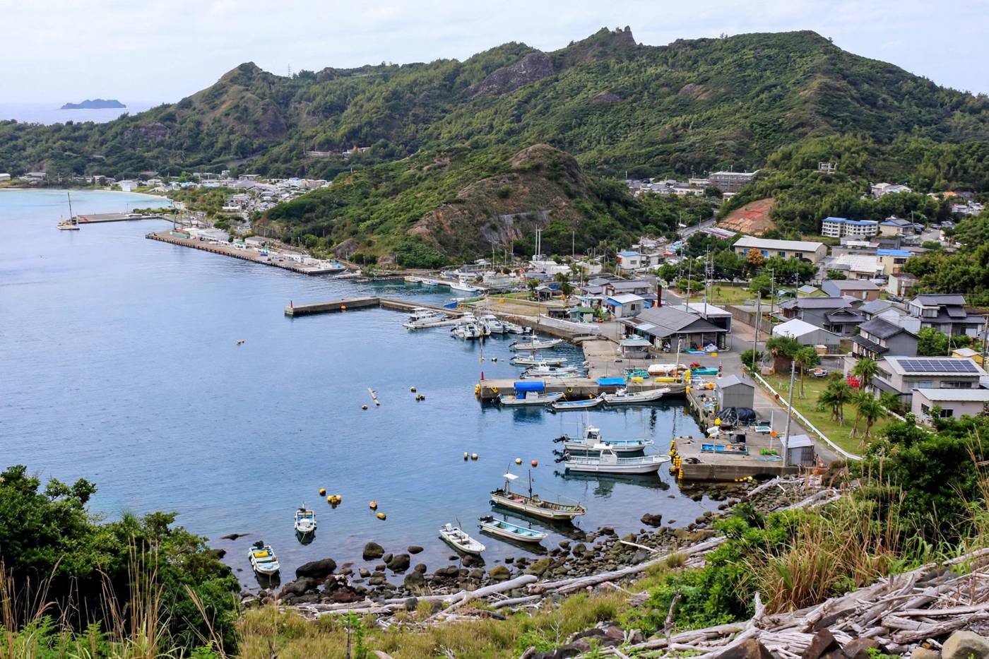
The Bonin Islands are also known as the Ogasawara Islands. Tremr described them as a remote Japanese island chain in the western Pacific, far south of Tokyo. The epicentre was 729 kilometres (453 miles) south-southeast of Kushimoto, 745 kilometres (463 miles) south-southeast of Shingu, and 756 kilometres (470 miles) south-southeast of Kumano. It was 767 kilometres (476 miles) south of Shimoda and 807 kilometres (501 miles) south of Shizuoka.
A depth far below the surface
The depth is central to how this event was recorded. At 492.4 kilometres, the quake was in deep-focus territory, well below the crust and well below the shallow zone where earthquakes do most of their direct damage, Tremr reported. Tremr said the Bonin Islands stand above the Izu-Bonin trench system, where an oceanic plate dives westward and descends deep beneath the region, and that earthquakes in that system are routinely recorded at depths of several hundred kilometres.
Tremr said deep-focus earthquakes are understood to happen inside cold, descending slabs of subducted plate, where the slab interior is still brittle enough to fail abruptly. It said the energy from a quake at this depth has hundreds of kilometres of rock to travel through before it reaches the surface, spreading and softening on the way.
No tsunami threat and a Green alert
The Pacific Tsunami Warning Center reported no tsunami threat in a bulletin issued at 02:24 UTC on October 25, fifteen minutes after the quake. The USGS issued a Green alert for shaking-related fatalities and economic losses, indicating a low likelihood of casualties and damage.
The USGS summary carried by The Watchers said the population in the region resides in structures that are resistant to earthquake shaking, though vulnerable structures exist. It listed the predominant vulnerable building types as heavy wood frame and reinforced or confined masonry construction. No estimate of economic loss based on gross domestic product was provided, and no secondary hazard assessment was provided.
A country used to seismic activity
Japan sits at the junction of four tectonic plates, which makes it particularly vulnerable to seismic activity, Qatar News Agency reported via Fana News. The agency said Japan is also home to 100 active volcanoes. It recalled the magnitude 9.0 earthquake and the tsunami that followed in 2011, which killed more than 15,000 people and caused a disaster at the Fukushima nuclear plant. No such impact was reported from Sunday's deep event. The first reports left the story as a large quake recorded by instruments far below the Pacific, with no damage reported at the surface.
Timeline
- Oct 25, 2026At 02:09 UTC a magnitude 6.5 earthquake hits the Bonin Islands region at a depth of 492.4 kilometres. The USGS lists it as Mww 6.5, reviewed by a seismologist and based on 124 reporting stations.
- Oct 25, 2026At 02:24 UTC the Pacific Tsunami Warning Center issues a bulletin reporting no tsunami threat from the quake.
- Oct 25, 2026The USGS issues a Green alert for shaking-related fatalities and economic losses. There are no immediate reports of casualties or material damage.
Sources
- The Watchers: Strong and deep M6.5 earthquake hits Bonin Islands, Japan region
- Fana News (QNA): 6.5-Magnitude Earthquake Strikes Japan's Bonin Islands
- Tremr: The 2026 Bonin Islands Earthquake, M6.5 nearly 500 km below the Pacific
- The Watchers LIVE: Deep M6.5 earthquake strikes Bonin Islands, Japan region on October 25, 2026